This video is a fly-through animation of a 3D model of archaeological excavation site – an 1860s brewery storage cellar in Williamsburg (now Brooklyn), NY. This site was uncovered during a construction project and will not be preserved. Dr.Celia Bergoffen, an adjunct associate professor at the Fashion Institute of Technology who also takes on projects for architects and developers, has led the project of unearthing the site and documenting it before it’s destroyed.
As a part of this effort, she has approached Petr Hejl from PhotoFlight Aerial Media, a professional drone service provider, about capturing the site by a drone and using the video along with other ground and interior video material to create a full high resolution 3D model of the cellar.
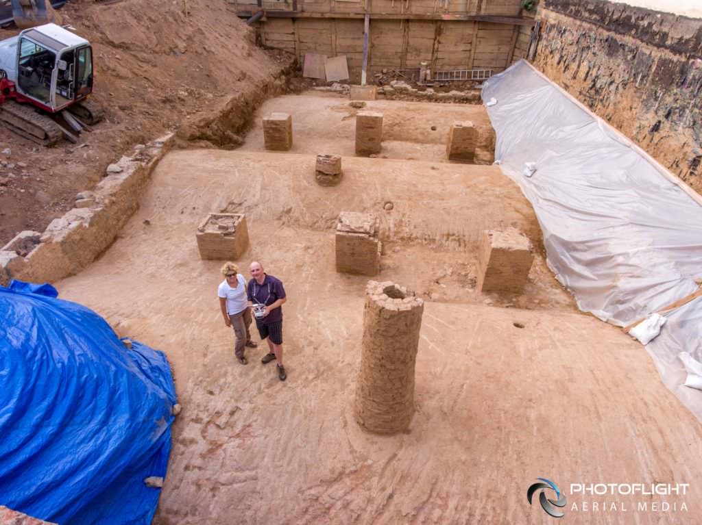
While a pre-programmed grid of GPS coordinates is usually used to capture imagery for 3D model and orthomosaic processing, this location has posed a unique challenge as the site was below the ground level and surrounded by taller buildings. This meant that the drone’s GPS and compass could not have been reliably used to navigate through the site, and the operator opted for flying the grid manually, shooting 4K resolution video captured by flying over the site in grid pattern with DJI Phantom 4 Drone.
The drone was flown at low altitude, just above the railing surrounding the site, with the camera pointed straight down, in a double-grid pattern with generous side overlap. Two double-grid flight videos were uploaded to Pix4D mapper software to create this model. The program was set to extract every 30th frame – at 30fps, this would be an equivalent of capturing a still image every 1 second. Total of 1187 frames have been used to create this model.
Rapidly evolving drone and computer technology makes it now possible to create high resolution 3D digital models of real world structures and sites at relatively low cost, making them an invaluable tool for archaeologists, architects, environmental engineers, educators, and many other professionals.
Big thanks to Celia Bergoffen for all her hard work in lieu of preserving our past for the future.
Equipment: DJI Phantom 4 Drone
Software: Pix4D mapper
Lead Archaeologist: Celia Bergoffen
Drone camera operator: Petr Hejl
Model & Video Animation Created by: Petr Hejl, PhotoflightAM.com